Drought Management is in Effect (and Has Been)
As published in the Lake Travis View, May 2022.
Many of you will remember living through the drought that started in 2011. Texas experienced the driest year on record as well as its second hottest, according to the National Weather Service, with only 14.8 inches of rain and Austin reporting over 90 days that climbed to or above 100 degrees. Nearly 90 percent of the state was in severe drought status by the U.S. Drought Monitor. But, if you live in Texas long enough (especially near a lake), you notice that we routinely go through periods of drought followed by rainy spells. Do you remember the historic flood of 2018? Lake Travis rose 24 feet in 24 hours, reaching about 140 percent full (704 feet), according to the Lower Colorado River Authority (LCRA). September 2018 ranked in the top three wettest months on record for Texas behind May 2015 and August 2017.
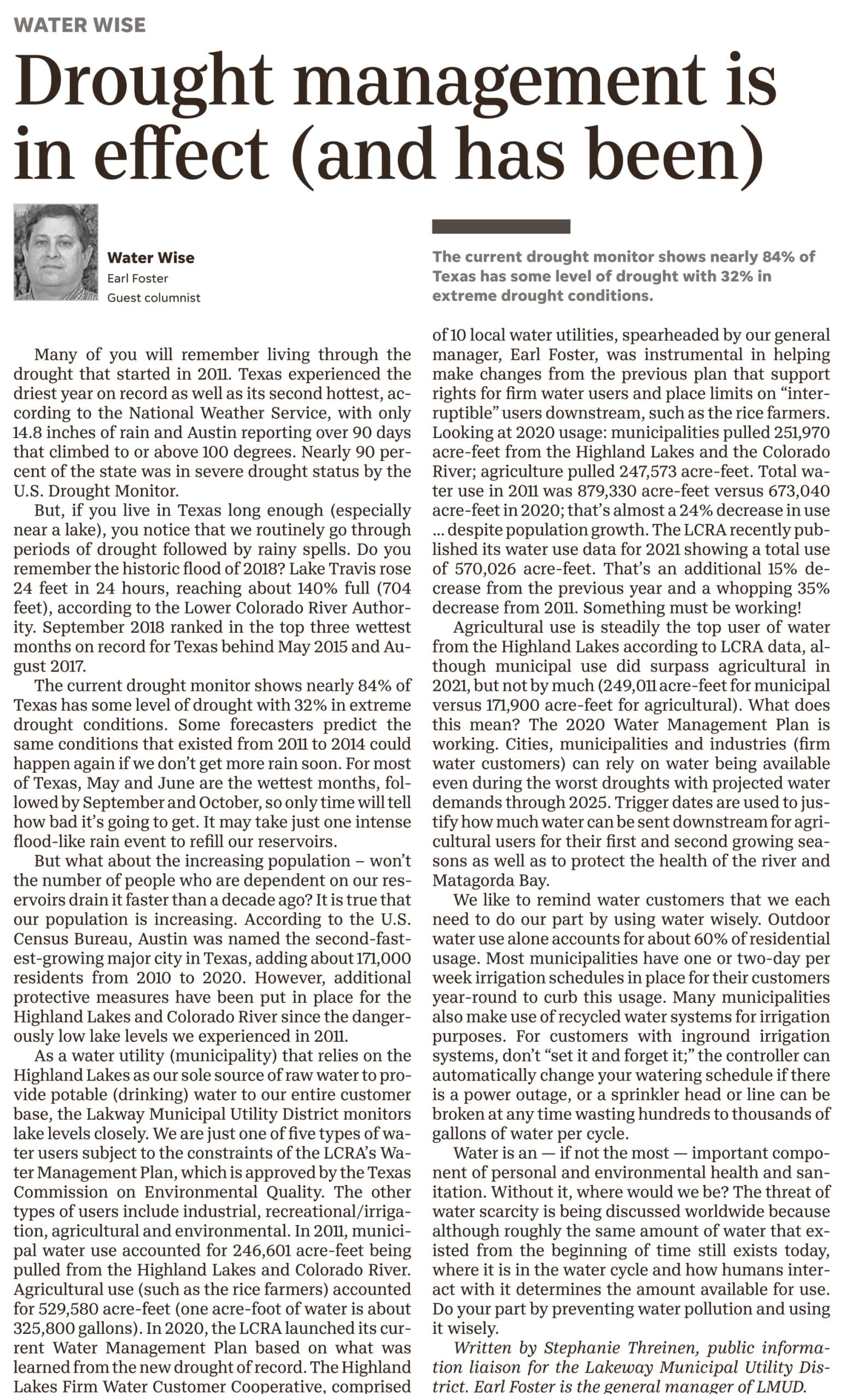
The current drought monitor shows nearly 84 percent of Texas has some level of drought with 32 percent in extreme drought conditions. Some forecasters predict the same conditions that existed from 2011 to 2014 could happen again if we don’t get more rain soon. For most of Texas, May and June are the wettest months, followed by September and October so only time will tell how bad it’s going to get. It may take just one intense flood-like rain event to refill our reservoirs.
…additional protective measures have been put in place for the Highland Lakes and Colorado River since the dangerously low lake levels we experienced in 2011.
But what about the increasing population – won’t the number of people who are dependent on our reservoirs drain it faster than a decade ago? It is true that our population is increasing. According to the U.S. Census Bureau, Austin was named the second-fastest-growing major city in Texas, adding about 171,000 residents from 2010 to 2020. However, additional protective measures have been put in place for the Highland Lakes and Colorado River since the dangerously low lake levels we experienced in 2011.
As a water utility (municipality) that relies on the Highland Lakes as our sole source of raw water to provide potable (drinking) water to our entire customer base, we monitor lake levels very closely. We are just one of five types of water users subject to the constraints of the LCRA’s Water Management Plan, which is approved by the Texas Commission on Environmental Quality (TCEQ). The other types of users include industrial, recreational/irrigation, agricultural, and environmental. In 2011, municipal water use from LCRA accounted for 246,601 acre-feet being pulled from the Highland Lakes and Colorado River. Agricultural use (such as the rice farmers) accounted for 529,580 acre-feet (one acre-foot of water is about 325,800 gallons)! In 2020, the LCRA launched its current Water Management Plan based on what was learned from the new drought of record. The Highland Lakes Firm Water Customer Cooperative, comprised of 10 local water utilities, spearheaded by our general manager, Earl Foster, was instrumental in helping make changes from the previous plan that support rights for firm water users and place limits on “interruptible” users downstream, such as the rice farmers. Looking at 2020 usage: municipalities pulled 251,970 acre-feet from the Highland Lakes and the Colorado River; agriculture pulled 247,573 acre-feet. Total water use in 2011 was 879,330 acre-feet versus 673,040 acre-feet in 2020; that’s almost a 24 percent decrease in use…despite population growth. The LCRA recently published their water use data for 2021 showing a total use of 570,026 acre-feet. That’s an additional 15 percent decrease from the previous year and a whopping 35 percent decrease from 2011. Something must be working!
| Type of Water Use* | 2011 | 2020 | 2021 |
| Municipal (firm) | 246,601 | 251,970 | 249,011 |
| Industrial (firm) | 60,272 | 50,343 | 113,594 |
| Recreational & Irrigation (firm) | 9,099 | 7,568 | 4,204 |
| Agricultural (interruptible) | 529,580 | 247,573 | 171,900 |
| Environmental | 33,433 | 115,586 | 31,317 |
| Emergency Hydroelectric Release | 345 | – | – |
| TOTAL WATER USE | 879,330 acre-feet | 673,040 acre-feet | 570,026 acre-fee |
*Water Use is from Highland Lakes and Colorado River.
Chart developed by LMUD using data from LCRA yearly water use summaries.
Calculations are in acre-feet (one acre-foot of water is about 325,800 gallons).
Agricultural use is steadily the top user of water from the Highland Lakes according to LCRA data although municipal use did surpass agricultural in 2021, but not by much (249,011 acre-feet for municipal versus 171,900 acre-feet for agricultural). What does this mean? The 2020 Water Management Plan is working. Cities, municipalities, and industries (firm water customers) can rely on water being available even during the worst droughts with projected water demands through 2025. Trigger dates are used to justify how much water can be sent downstream for agricultural users for their first and second growing seasons as well as to protect the health of the river and Matagorda Bay.
We like to remind water customers that we each need to do our part by using water wisely. Outdoor water use alone accounts for about 60 percent of residential usage. Most municipalities have one or two-day per week irrigation schedules in place for their customers year-round to curb this usage. Many municipalities also make use of recycled water systems for irrigation purposes. For customers with inground irrigation systems, don’t “set it and forget it;” the controller can automatically change your watering schedule if there is a power outage, or a sprinkler head or line can be broken at any time wasting hundreds to thousands of gallons of water per cycle.
Water is an (if not the most) important component of personal and environmental health and sanitation. Without it, where would we be? The threat of water scarcity is being discussed worldwide because although roughly the same amount of water that existed from the beginning of time still exists today, where it is in the water cycle and how humans interact with it determines the amount available for use. Do your part by preventing water pollution and using it wisely.
Written by Stephanie Threinen, public information liaison for the Lakeway Municipal Utility District (LMUD). Earl Foster is the general manager of LMUD.
Sources:
LCRA Highland Lake Levels Data:
https://www.lcra.org/water/highland-lakes-overview/
LCRA 2011 Water Use Summary:
https://www.lcra.org/download/water_use_summary_2011-pdf/?wpdmdl=16072&refresh=62712a02d1c9e1651583490
LCRA 2020 Water Use Summary:
https://www.lcra.org/download/2020-water-use-summary/?wpdmdl=24578&refresh=627138386bd471651587128
Current Texas Drought Monitor Data:
https://droughtmonitor.unl.edu/CurrentMap/StateDroughtMonitor.aspx?TX
Historical Texas Drought Monitor Data:
https://waterdatafortexas.org/drought/drought-monitor?period=2022-04-26&areaType=state&areaName=tx
LCRA’s 2020 Water Management Plan:
https://www.lcra.org/water/water-supply-planning/water-management-plan-for-lower-colorado-river-basin/
 You are now being redirected to the WaterSmart page.